JourneysPhotograph

Foggy Mori Point Hike Before the Flight
·Pacifica, California·#hiking#summer#coast#bay area#fog
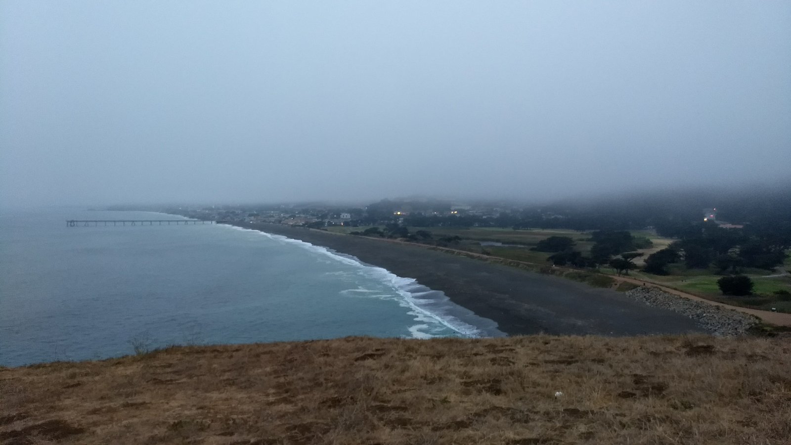
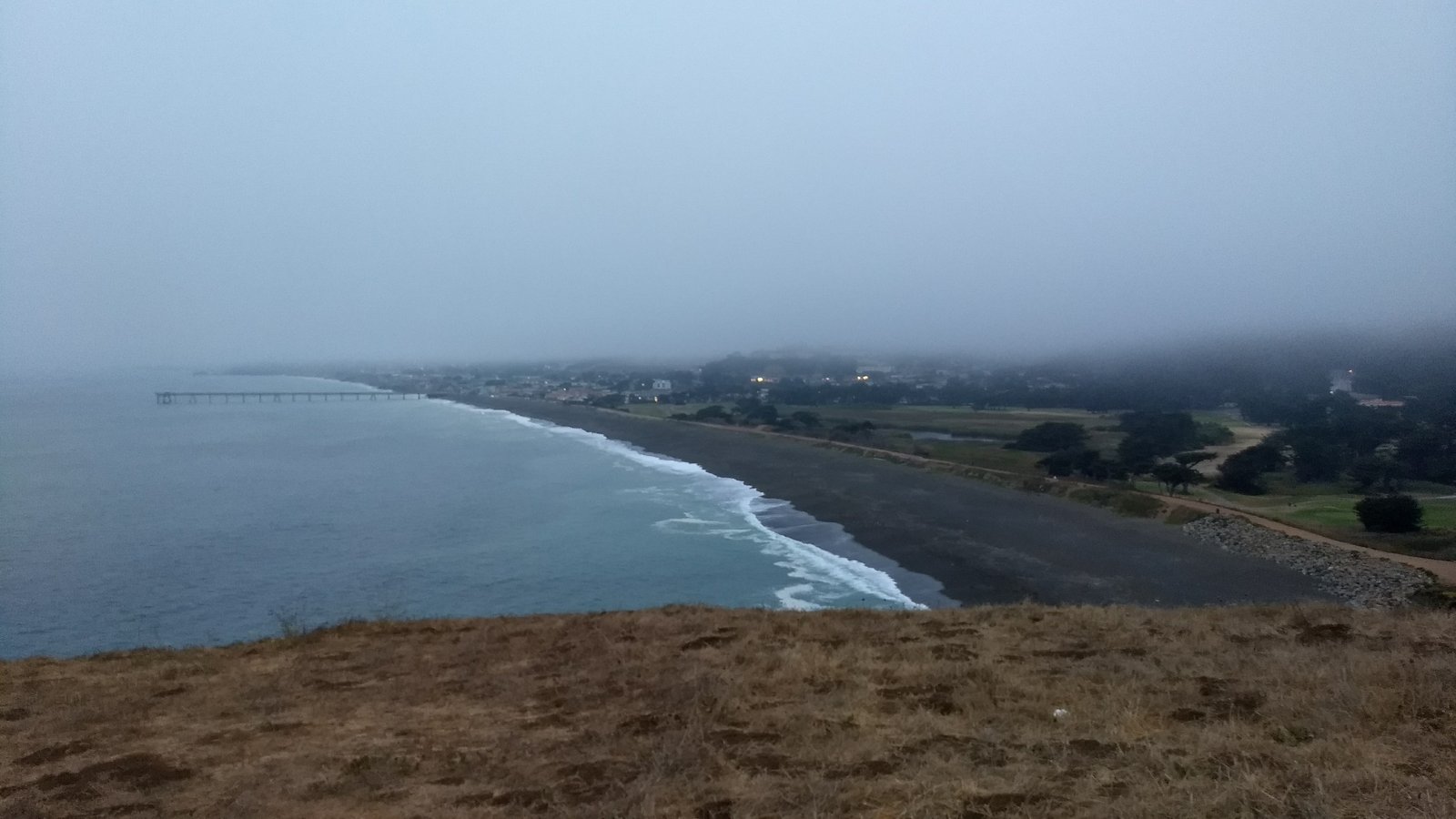
A foggy coastline with a pier extending into the ocean, a beach, and a town nestled along the shore.

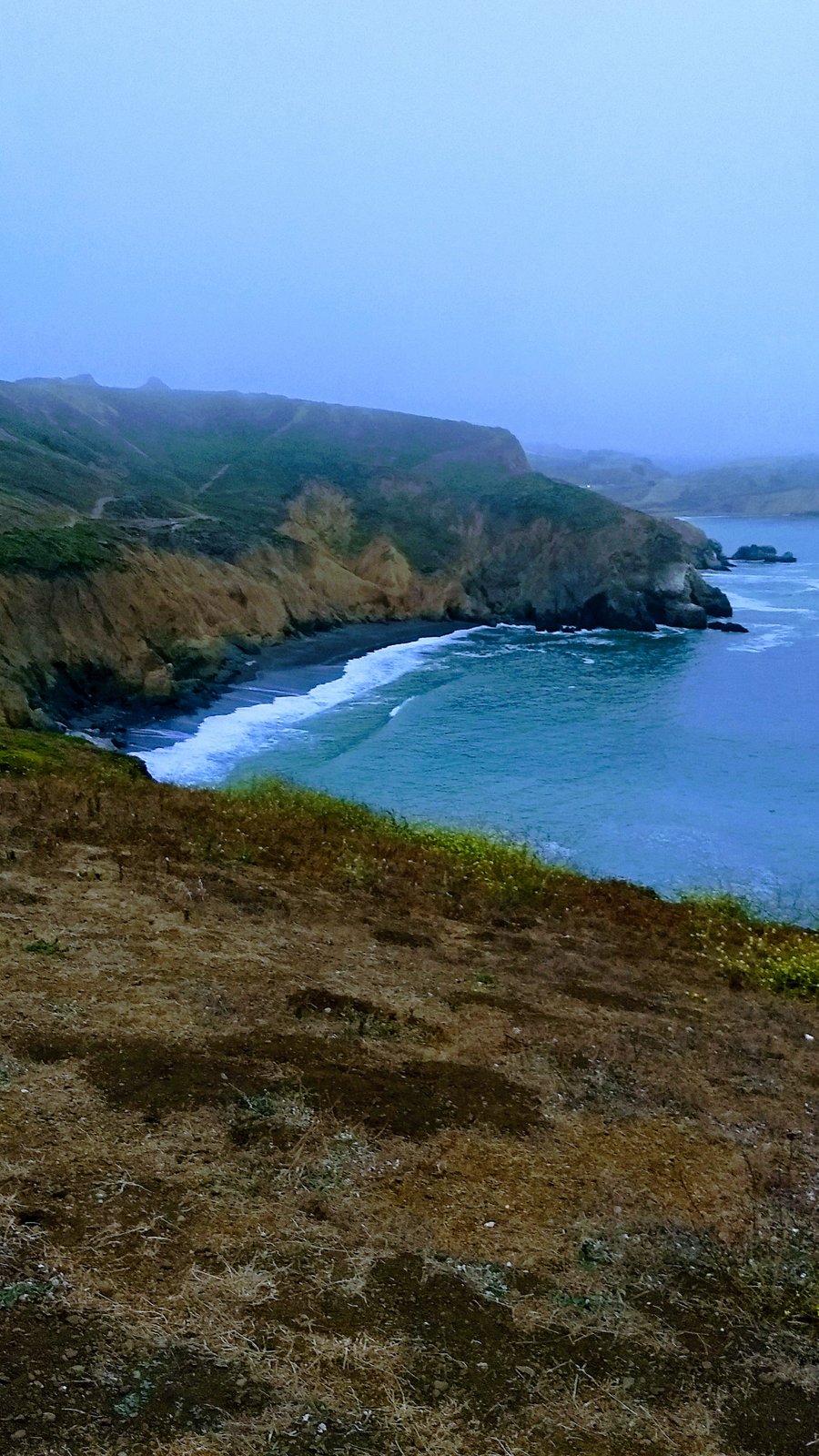
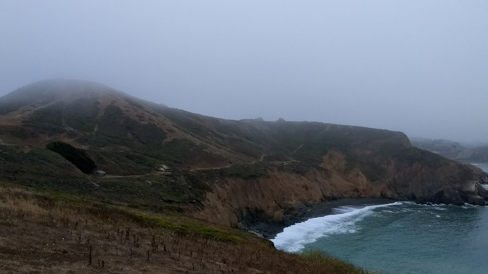
One last hike before the flight home, so we drove out to Mori Point in Pacifica and walked up the bluff into the fog. The whole town was under it — you could see the pier running out into gray water and the lights of houses along Sharp Park, but the ridge behind them just disappeared. Waves stacking up on that dark sand beach below, three or four lines at a time.

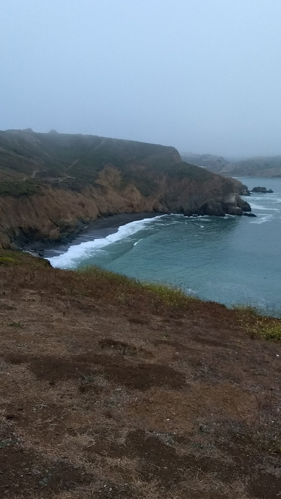
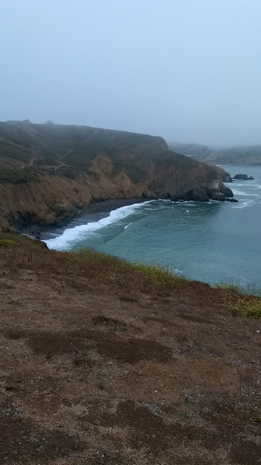
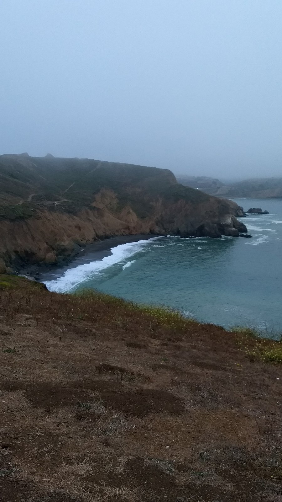
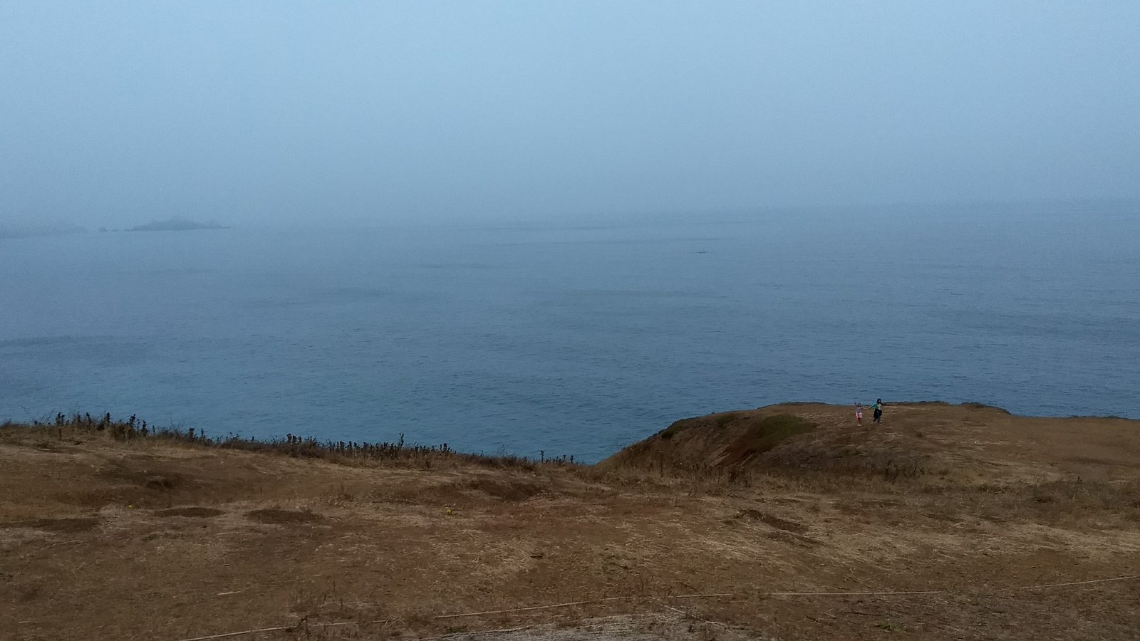
The trail is short, maybe three miles round trip with 350 feet or so of climb, which was about right with a plane to catch. Around the south side of the point there's a cove tucked under the cliffs, black sand, cut off from the beach by the rocks. The fog sat on the hilltops the entire time and never quite came down to us.

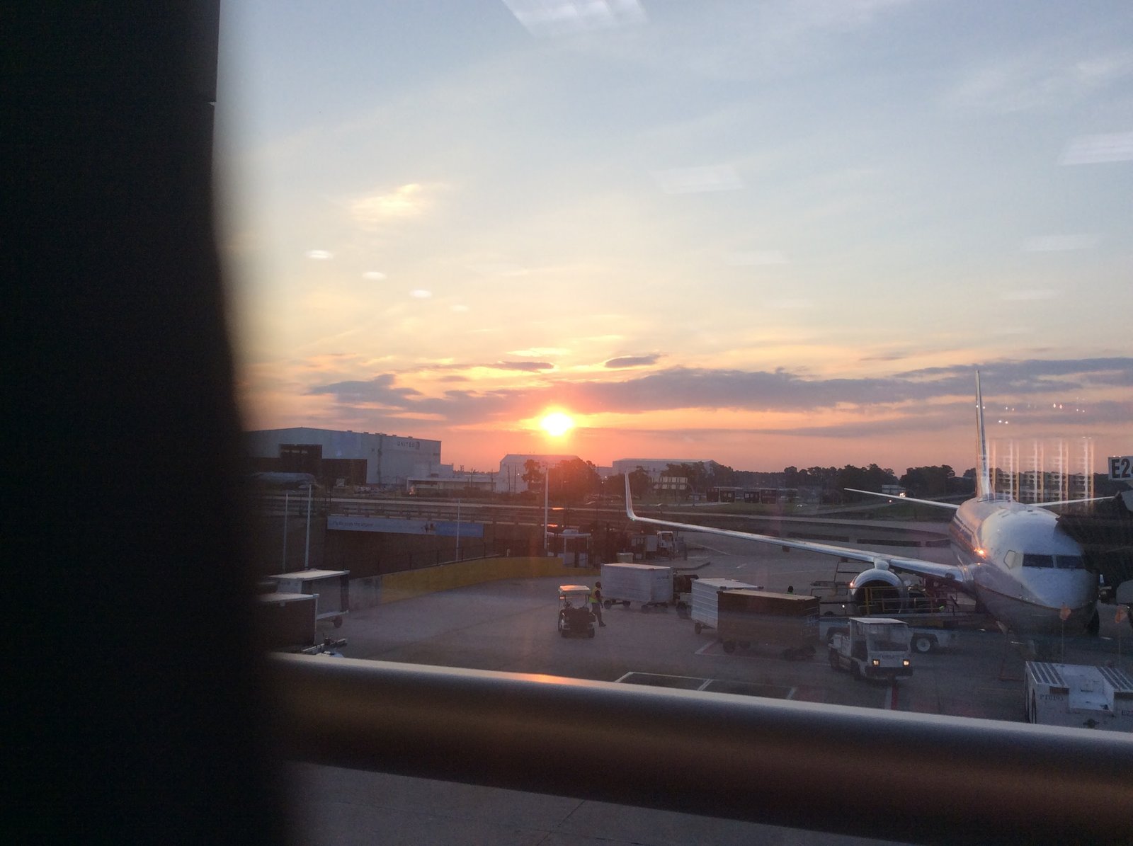
Then the airport. The sun finally showed itself while we waited at the gate — first clear sky of the day, and we watched it from behind glass while they loaded the bags.
From a grassy hill, a foggy coastline with a long pier, dark beach, breaking waves, and a town.A hazy ocean view with distant misty islands and two small figures on a dry grassy cliff in the foreground.A misty coastal landscape features a dark sand beach, blue ocean waves, and steep rocky hills under a pale blue sky.Misty coastal landscape with rugged cliffs, a dark sandy beach, turquoise ocean waves, and a hazy sky.A foggy coastal landscape with steep brown cliffs, a dark beach, turquoise ocean waves, and dry grassy hills.A foggy coastal landscape with a dark beach, crashing waves, steep cliffs, and a dry grassy foreground.Fog-shrouded hills with visible trails overlook a rugged coastline with a dark beach and ocean waves.An airplane is parked at an airport gate with ground crew activity during a colorful sunset.